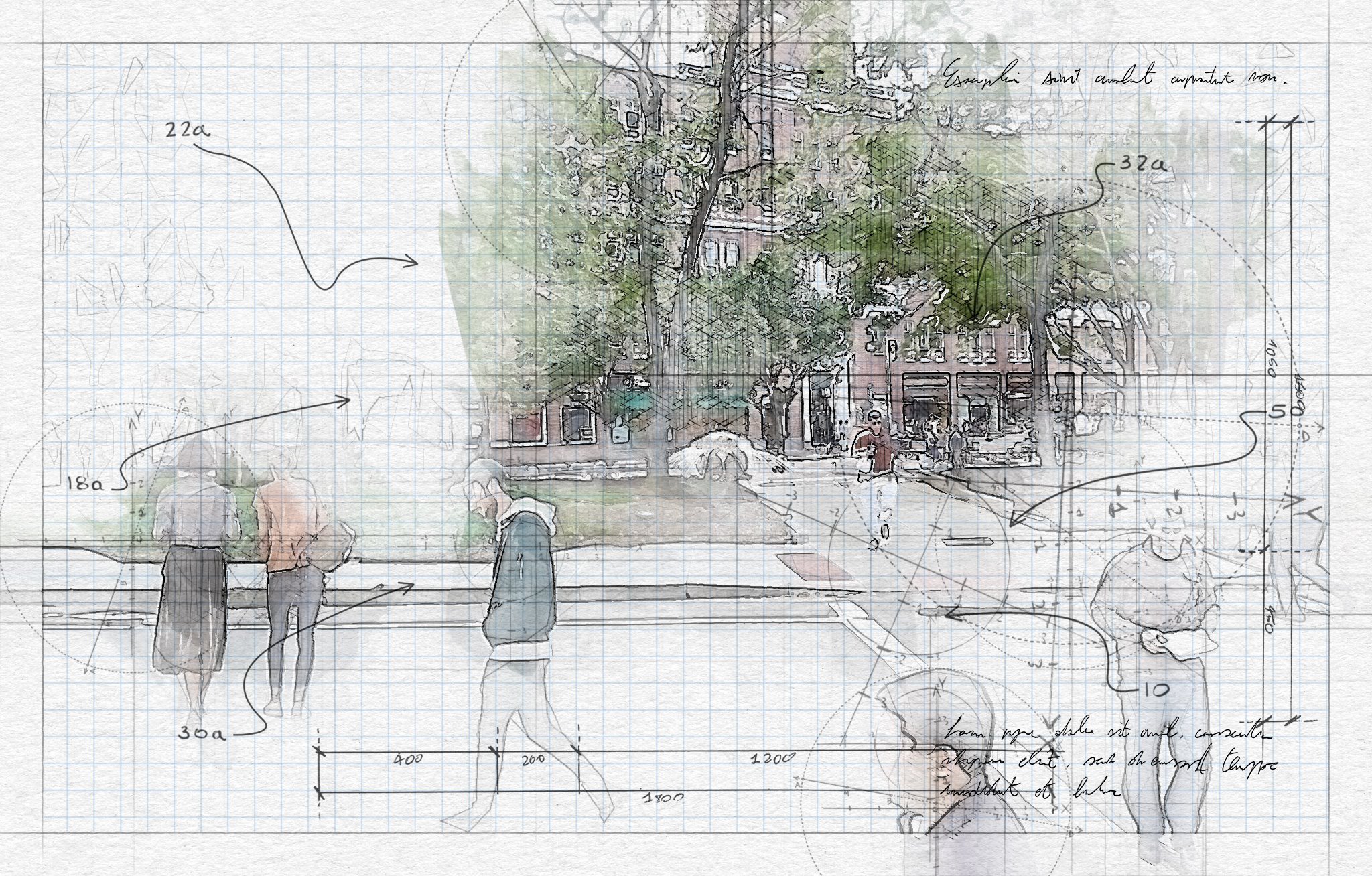
City planners have standard methods of estimating the car traffic that a project is likely to generate, but they have no equivalent for foot traffic. Now Andres Sevtsuk, director of MIT’s City Form Lab, has published a model that could help.
The model estimates pedestrian trips along networks between common origins and destinations like homes, offices, amenities, and transit stops. To calibrate it, Sevtsuk had observers count pedestrians on 60 street segments in Cambridge’s Kendall Square (before the covid-19 pandemic) at midday and in late afternoon. This made it possible to estimate how many people are walking on all streets in the area, generating a broader picture of pedestrian flows.
The model can be applied to almost any urban setting, Sevtsuk says. “Even if we were planning a new area, just by knowing what the built configuration of the future development will be and what land uses it may contain, we can have an educated forecast about what the pedestrian flows will look like.”
Keep Reading
Most Popular
How scientists traced a mysterious covid case back to six toilets
When wastewater surveillance turns into a hunt for a single infected individual, the ethics get tricky.
The problem with plug-in hybrids? Their drivers.
Plug-in hybrids are often sold as a transition to EVs, but new data from Europe shows we’re still underestimating the emissions they produce.
What’s next for generative video
OpenAI's Sora has raised the bar for AI moviemaking. Here are four things to bear in mind as we wrap our heads around what's coming.
Stay connected
Get the latest updates from
MIT Technology Review
Discover special offers, top stories, upcoming events, and more.