When deadly wildfires tore through Northern California in summer 2018, Matt Jacobs ’02 had a way to help: with mapping software he’d created to enhance search and rescue efforts.
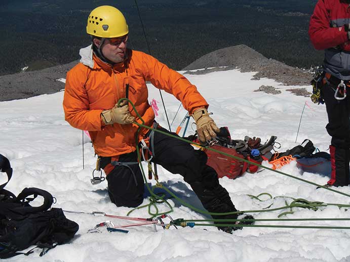
Jacobs’s interest in mapping grew out of his passion for the outdoors. He raced with the MIT ski team in the mountains of New Hampshire while earning his degree in computer science, and when he returned to his native California after graduation, he joined the Bay Area Mountain Rescue Unit. He quickly realized that the digital maps then available were outdated—and getting the full picture required switching back and forth between trail maps and terrain maps.
“You’d be trying to figure out where the missing person might have gone, and therefore where you were supposed to be going, and also where your fellow search team members were. It was very difficult because you didn’t have a map with all the information you needed,” he explains.
He began layering different types of maps and adding more sophisticated features. He also pulled in locally sourced geodata from a project called OpenStreetMap. His experiments led to CalTopo, a geospatial mapping tool that Jacobs says is unique.
About 20% of CalTopo’s roughly 100,000 monthly users work in search and rescue and disaster response (using the variant of his platform known as SARTopo); 80% are recreational users who backpack, hunt, and ski in remote areas. While most users are in the US West and Midwest, the maps cover the whole country, with limited international data as well. The platform includes route planning and terrain visualization tools and lets users mark waypoints and share routes. It also incorporates data not found on regular maps, such as slope angle—crucial information for backcountry skiers, given that avalanches typically happen on slopes angled at 30 degrees or more.
What began as a hobby while Jacobs was working as a software developer has become his full-time job. In 2015, he began offering a subscription version that includes advanced tools. The income has allowed him to expand his team, develop new features, and focus on CalTopo’s app, which is in beta.
In 2019, the technology was used in successful searches for lost hikers and children in Hawaii and California. “It’s very rewarding to go and find a single missing person and bring them home,” Jacobs says of his on-the-ground rescue unit experience. But as a programmer, “it’s rewarding in a different way to be building a tool that you see lots of people use to help others.”
Keep Reading
Most Popular
Large language models can do jaw-dropping things. But nobody knows exactly why.
And that's a problem. Figuring it out is one of the biggest scientific puzzles of our time and a crucial step towards controlling more powerful future models.
The problem with plug-in hybrids? Their drivers.
Plug-in hybrids are often sold as a transition to EVs, but new data from Europe shows we’re still underestimating the emissions they produce.
Google DeepMind’s new generative model makes Super Mario–like games from scratch
Genie learns how to control games by watching hours and hours of video. It could help train next-gen robots too.
How scientists traced a mysterious covid case back to six toilets
When wastewater surveillance turns into a hunt for a single infected individual, the ethics get tricky.
Stay connected
Get the latest updates from
MIT Technology Review
Discover special offers, top stories, upcoming events, and more.