Apple Wants to Use Drones to Give Its Maps App a Lift
Apple is reportedly using drones to help support its mapping efforts.
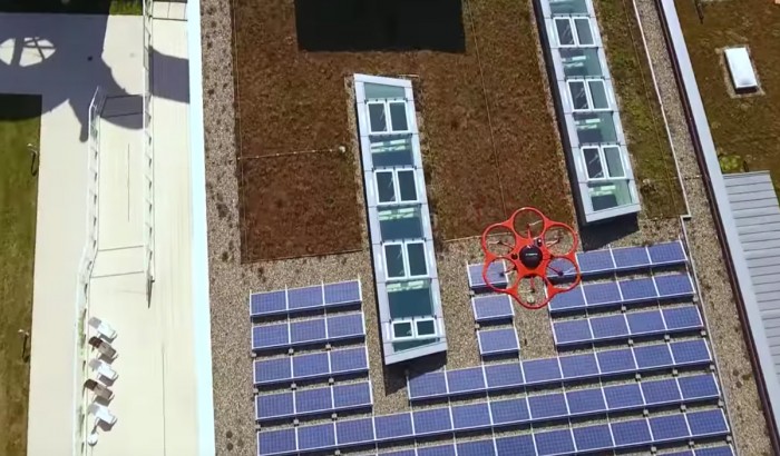
According to Bloomberg, the company secured special permission from the Federal Aviation Administration to fly drones back in 2015. One source tells the news organization that Apple plans to use them to “examine street signs, track changes to roads, and monitor if areas are under construction.” The source reckons that the data would be used to update records in the company’s Maps app.
When it launched in 2012, Apple’s Maps app was widely ridiculed because it contained a multitude of factual and graphical errors that made it untrustworthy and, in some case, dangerous. While the company has updated it in the past few years, it’s failed to capture the attention of most Google Maps devotees.
Better data provided by drones could certainly help. As could the suggestion, by another Bloomberg source, that Apple is keen to develop its mapping of building interiors and improve its turn-by-turn navigation.
In theory, the drones may also be used to create a high-resolution 3-D scan of their surroundings. That would be attractive to engineers developing autonomous vehicles, which can use prior maps to help them determine their position in the world. Apple is widely rumored to be interested in the self-driving car sector, and the most recent reports suggest that it’s particularly interested in the development of software—which may include maps.
But if Apple does use drones to update Maps or provide data for autonomous cars, it will be slow going. First, Bloomberg points out that Apple is now complying with the FAA’s new commercial drone regulations, released in August. They demand that drones don’t leave their operator’s line of sight, which will make it slow to acquire data. And creating 3-D maps is time-consuming, so it would take an age to cover a city in any detail.
(Read more: Bloomberg, “Apple’s Car Plans Are on the Ropes,” “High-Resolution 3-D Scans Built from Drone Photos,” “Now You Can Finally Use Your Drone to Make Money”)
Keep Reading
Most Popular
Large language models can do jaw-dropping things. But nobody knows exactly why.
And that's a problem. Figuring it out is one of the biggest scientific puzzles of our time and a crucial step towards controlling more powerful future models.
How scientists traced a mysterious covid case back to six toilets
When wastewater surveillance turns into a hunt for a single infected individual, the ethics get tricky.
The problem with plug-in hybrids? Their drivers.
Plug-in hybrids are often sold as a transition to EVs, but new data from Europe shows we’re still underestimating the emissions they produce.
Stay connected
Get the latest updates from
MIT Technology Review
Discover special offers, top stories, upcoming events, and more.